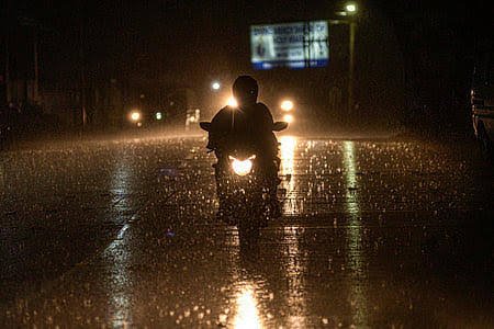


Bhubaneswar: On Wednesday, the day temperature in western and northern regions of Odisha exceeded 40°C, as reported by the India Meteorological Department (IMD).
Titlagarh recorded the highest temperature at 40.5°C, followed by Balangir at 40.2°C, Sambalpur at 40.1°C, Bhawanipatna at 40°C, and Jharsuguda at 39.8°C. The twin cities of Bhubaneswar and Cuttack recorded temperatures of 37.3°C and 36°C, respectively.
The MeT office has forecast a further increase in maximum temperatures by 2-3°C over the next five days, amid ongoing thunderstorm activity expected to persist in the state until May 17, due to a well-marked low-pressure area over the southwest and adjoining west-central Bay of Bengal.
Yellow Warning
May 14: Thunderstorms with lightning and gusty winds (40-50 km/h) are anticipated in the afternoon/evening at one or two locations in the districts of Balasore, Bhadrak, Jajpur, Keonjhar, Mayurbhanj, and Kendrapada.
Similar weather conditions with wind speeds of 30-40 km/h may also occur in Angul, Dhenkanal, Cuttack, Puri, Jagatsinghpur, Khurda, Nayagarh, Ganjam, and Gajapati during this period.
May 15: Thunderstorms with lightning and gusty winds (40-50 km/h) are likely in the afternoon/evening at one or two places in the districts of Puri, Khurda, Ganjam, and Gajapati.
Similar conditions with wind speeds of 30-40 km/h may also affect Mayurbhanj, Sundargarh, Rayagada, Koraput, Malkangiri, Balasore, Bhadrak, Jajpur, Kendrapara, Cuttack, Jagatsinghpur, Nayagarh, Keonjhar, Angul, Dhenkanal, Kandhamal, and Boudh.
May 16-17: Thunderstorms with lightning and gusty winds (30-40 km/h) are expected in the afternoon/evening at one or two locations in the districts of Balasore, Bhadrak, Jajpur, Kendrapada, Cuttack, Jagatsinghpur, Puri, Khurda, Nayagarh, Ganjam, Gajapati, Mayurbhanj, and Keonjhar.
The national forecaster also noted that conditions are becoming favorable for the advancement of the southwest monsoon over parts of the south Bay of Bengal, Andaman Sea, and Andaman & Nicobar Islands around May 16.