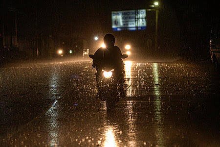








A depression in the northwest Bay of Bengal is poised to impact the weather in Kolkata in the coming days, with the India Meteorological Department (IMD) predicting increased rainfall as the system develops.
As of 8:30 AM on Sunday, July 26, the depression was located approximately 130 kilometers south-southeast of Sagar Island.
The IMD has indicated that the system is likely to move northwest, intensifying into a deep depression within the next 24 hours, before crossing the coasts of north Odisha and West Bengal between Paradip and Sagar Island around the noon hours on Monday, July 27.
Kolkata can expect generally cloudy weather over the next 24 hours with occasional light to moderate rain or thundershowers. The maximum temperature is forecasted to be around 32 degrees Celsius, while the minimum is expected to be around 26 degrees Celsius.
On Sunday, the city recorded a maximum temperature of 29.6˚C, which is three degrees below the average, while the minimum was logged at 26.5˚C. Relative humidity levels fluctuated between 85 and 96 percent, and the city received 9.4mm of rainfall within the 24 hours leading up to 11:30 AM on Sunday.
The forecast suggests a wet week lies ahead for Kolkata.
On Monday, July 27, moderate to heavy rain is anticipated as the depression makes landfall, with temperatures ranging from 26 to 30˚C. Light to moderate rain is expected on Tuesday, July 28, with temperatures between 26 and 31˚C. Similar weather conditions are predicted for Wednesday, July 29, and Thursday, July 30, with temperatures varying from 26 to 32˚C. Friday, July 31, and Saturday, August 1, are also expected to bring cloudy skies with intermittent showers, maintaining temperatures between 26 and 32˚C.
Residents are advised to stay updated with official weather reports as the situation develops.