





Bhubaneswar: The Indian government is set to implement the Digital India Land Records Modernization Programme (DILRMP) 3.0 from April 2026 through March 2031, with a budget of Rs 565.50 crore. This initiative aims to establish a unified, GIS-enabled, and citizen-focused digital system for land administration.
On Thursday, Union Rural Development Minister Shivraj Singh Chouhan presented the operational guidelines for DILRMP 3.0. This new phase will work towards integrating land records, cadastral maps, and registration data into a cohesive digital platform termed the Land Stack.
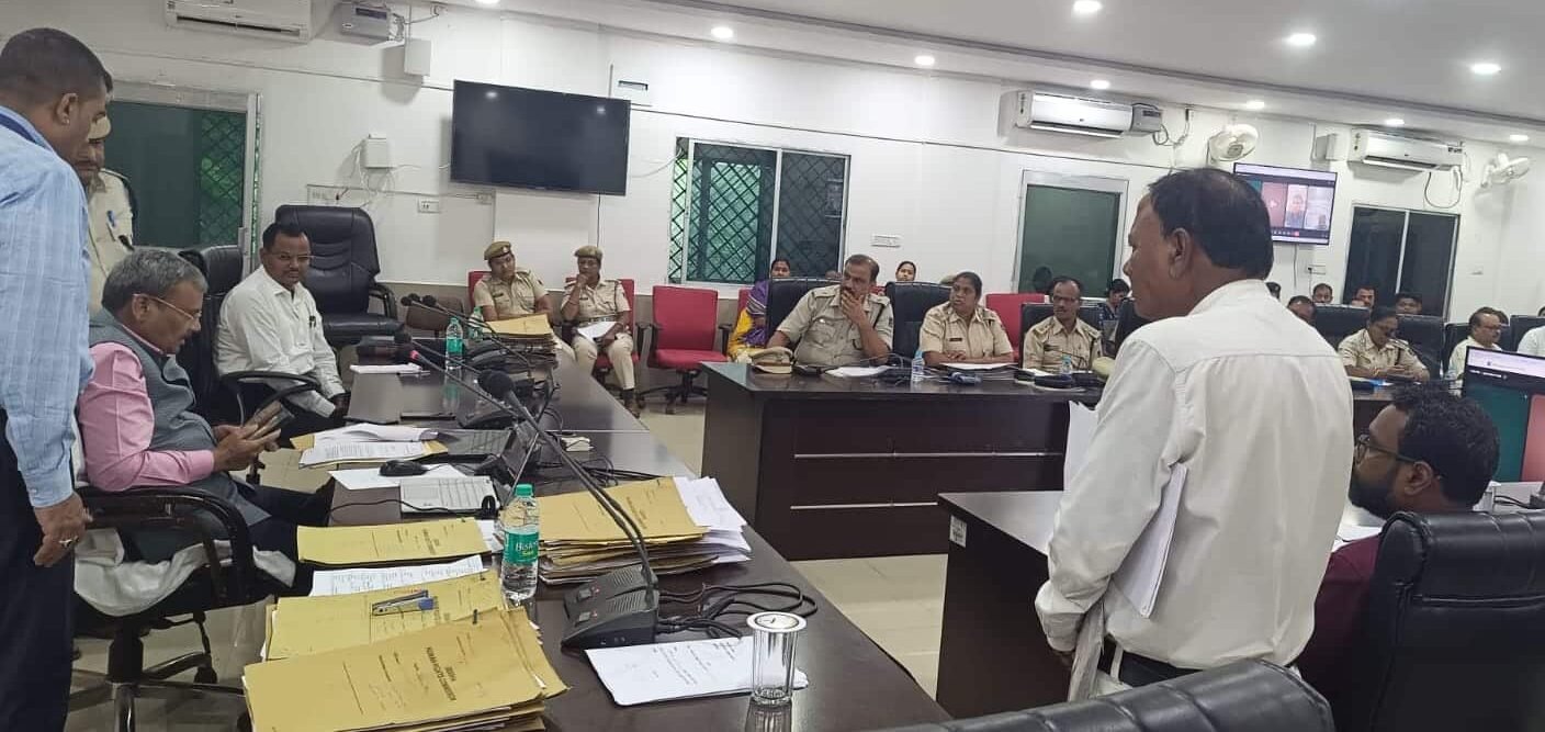
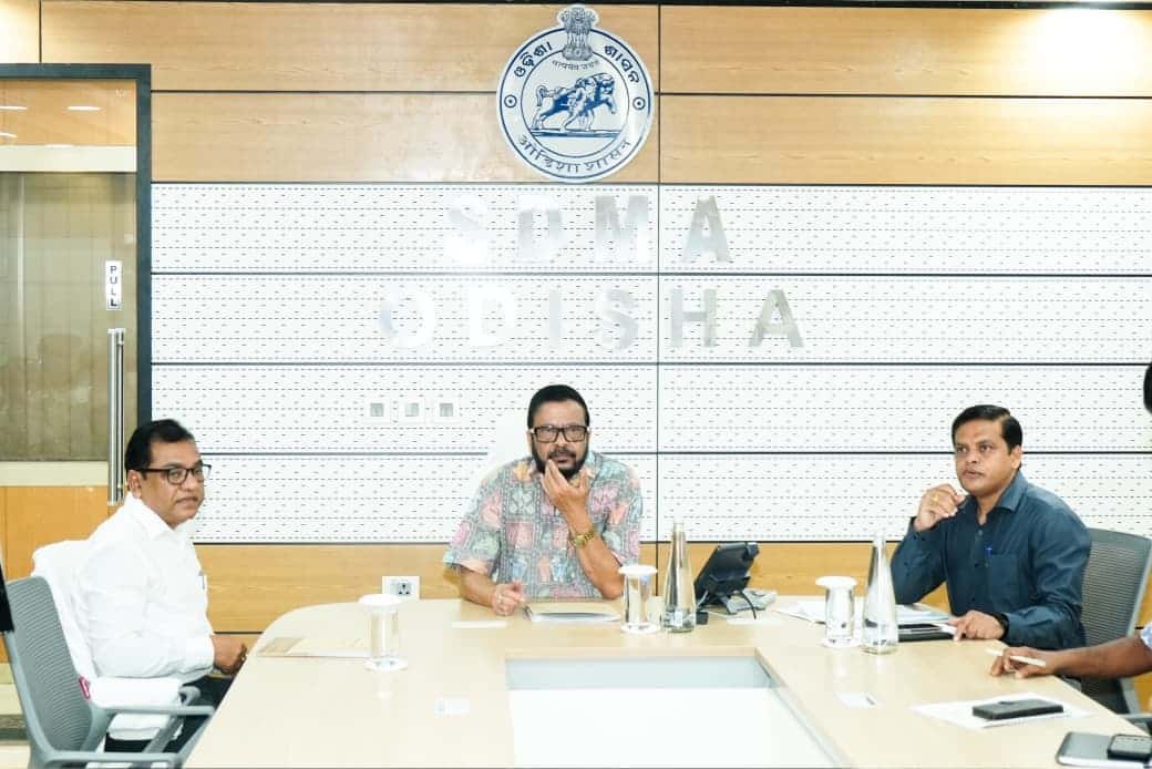
Suresh Pujari, Odisha’s Revenue and Disaster Management Minister, along with senior state officials, participated in the launch event virtually from Lok Seva Bhawan.
The forthcoming phase will prioritize cadastral parcels as the main spatial layer, while integrating Records of Rights (RoR), registration information, circle rates, encumbrances, land usage, building plans, and other pertinent data through interoperable APIs. ULPIN, also referred to as Bhu-Aadhaar, will function as the unique identifier for land parcels.
This initiative aims to digitize and georeference land parcels in rural, semi-urban, and urban settings, digitize historical land and registration documents, modernize property registration, and ensure secure, consent-based access to land-related services.
Furthermore, it seeks to digitize revenue court processes to expedite mutation and resolution of land disputes, while establishing systems for smooth data exchange among the various agencies involved in land administration.
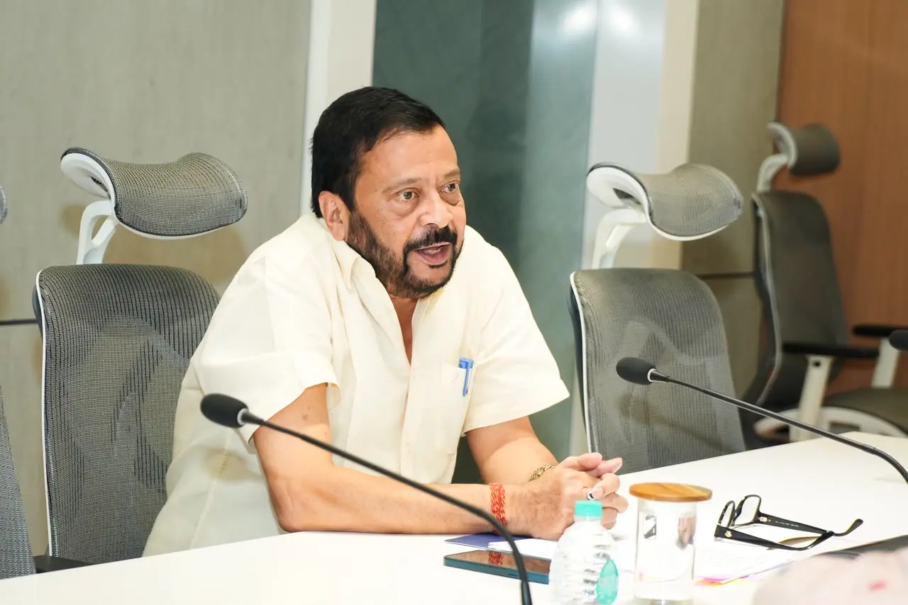
Minister Pujari emphasized that DILRMP 3.0 is designed to revolutionize land administration into a cohesive, digital, and GIS-driven framework that enhances transparency, service delivery, and security.
Pointing out Odisha’s advancements, he noted that modern record rooms have been set up in 311 of the state’s 317 tehsils, with high-tech surveys currently being conducted in Jharsuguda, Jagatsinghpur, Jajpur, Kendrapada, Kalahandi, and Ganjam districts.
To date, the state has computerized 1,99,86,487 land records, and cadastral maps have been created for nearly 51,742 of Odisha’s 51,802 villages.
Out of the 321 Sub-Registrar Offices in Odisha, 213 have been computerized, and efforts are ongoing to upgrade 108 registration offices established in 2025 with new technology.
A DILRMP Cell has also been created at the Revenue Officers’ Training Institute (ROTI) in Gothapatna to enhance the capabilities of revenue field officials.
“Since Prime Minister Narendra Modi took office, the Central government has been actively promoting initiatives in every state to computerize and modernize land records. The goal is to quickly resolve land-related issues using contemporary systems, deliver services directly to citizens’ homes, and improve transparency and efficiency,” stated Pujari.
“It’s noteworthy that before the commencement of Phase 3.0, we achieved a success rate of around 99.8% during the first two phases of computerization,” he added.