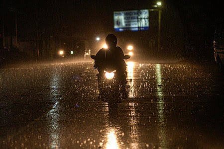








Bhubaneswar: Odisha is set for three additional days of heavy rainfall, attributed to a trough linked to a cyclonic circulation over the west-central Bay of Bengal and the neighboring north coastal Andhra Pradesh, extending to the northeast Arabian Sea across southern Odisha, as reported by the India Meteorological Department (IMD) on Monday.
The midday bulletin indicates that on July 20, significant rainfall is expected in several districts, including Jajpur, Kendrapada, Jagatsinghpur, Kataka, Sundargada, Dhenkanal, Kendujhar, and Mayurbhanj. Thunderstorms, along with lightning and strong winds reaching speeds of 30-40 km/h, are also anticipated in Baleshwar, Bhadrak, Jajpur, Kendrapada, Jagatsinghpur, Kataka, Sundargada, Jharsuguda, Baragada, Sambalpur, Debagada, Anugola, Dhenkanal, Kendujhar, Mayurbhanj, Gajapati, Ganjam, Puri, Khordha, and Nayagada.
On July 21, heavy rainfall is likely to persist in Sundargada, Kendujhar, and Mayurbhanj, while on July 22, it may affect Baleshwar, Bhadrak, Sundargada, Kendujhar, and Mayurbhanj. Thunderstorms with associated lightning and strong winds are also expected on these dates in Baleshwar, Bhadrak, Jajpur, Kendrapada, Jagatsinghpur, Kataka, Gajapati, Ganjam, Puri, Khordha, and Nayagada.
Thunderstorm activity may continue on July 23 in Sundargada, Sambalpur, and Jharsuguda.
Although no warnings are issued beyond this period, light to moderate rain or thundershowers could occur at various locations throughout the state over the next five days.