






Bhubaneswar: On Wednesday, the India Meteorological Department (IMD) announced an Orange Warning for heavy to very heavy rain across four districts in Odisha, predicting extensive rainfall and thunderstorms throughout the state until August 5. This forecast comes as the Deep Depression responsible for the heavy rain has shifted westward into central Chhattisgarh.
As per the IMD’s weather bulletin issued at midday, the Deep Depression, which had previously moved over Odisha, was located over central Chhattisgarh and parts of north interior Odisha at 8:30 AM on Wednesday. It is projected to continue its westward movement across Chhattisgarh and eastern Madhya Pradesh over the next 24 hours.
For the next day, the IMD has placed an Orange Warning for the districts of Nuapada, Kalahandi, Nabarangpur, and Koraput, where heavy to very heavy rainfall is anticipated in isolated spots. Additionally, a Yellow Warning for heavy rain has been issued for the districts of Bargarh, Subarnapur, Boudh, Balangir, Kandhamal, Rayagada, and Malkangiri. Light to moderate precipitation or thundershowers are expected across most parts of Odisha during this time.
From July 30 to August 2, the weather agency has predicted light to moderate rain in various areas of the state, along with thunderstorms, lightning, and gusty winds reaching speeds of 30-40 km/h in several districts, including Balasore, Bhadrak, Jajpur, Kendrapada, Jagatsinghpur, Cuttack, Khordha, Puri, Mayurbhanj, Keonjhar, Sundargarh, Ganjam, Gajapati, Koraput, Rayagada, and Malkangiri.
The seven-day forecast indicates that heavy rainfall will continue across different regions of Odisha until August 5, with Yellow Warnings remaining active for multiple districts on successive days. On August 2, heavy rainfall is expected in Kandhamal, Rayagada, and Gajapati, while on August 3, Sundargarh, Keonjhar, Kandhamal, Nabarangpur, Koraput, and Gajapati are likely to experience heavy rain. Heavy rain is forecast for August 4 over Sundargarh, Jharsuguda, Sambalpur, Deogarh, and Keonjhar districts. The IMD noted that no significant changes in the current weather pattern are anticipated over the following three days.
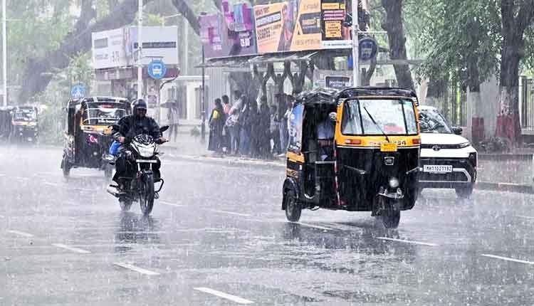
The weather office cautioned that heavy rainfall could lead to localized flooding, waterlogging in lower urban areas, traffic disruptions, decreased visibility, minor damage to unpaved roads, landslides in at-risk areas, and the inundation of crops. Residents are advised to steer clear of waterlogged regions and susceptible structures, and to heed traffic advisories before traveling.
The IMD reported that the southwest monsoon has been particularly active over Odisha in the last 24 hours. Isolated areas across several districts have recorded heavy to very heavy rainfall, with extremely heavy downpours in parts of Bargarh, Balangir, Subarnapur, Keonjhar, Boudh, and Angul. Bijepur in Bargarh district recorded the highest rainfall at 31 cm, followed by Agalpur and Salebhatta in Balangir district, each with 26 cm.
For Bhubaneswar, the IMD predicts a generally overcast sky with potential rain or thunderstorms over the next 24 hours. The maximum and minimum temperatures are expected to be around 32 degrees Celsius and 26 degrees Celsius, respectively. There are currently no warnings for fishermen along the Odisha coast for the next five days.